It began. My excitement for trekking escalated and I prepared myself to connect to nature yet again. This time, it felt different. There was an urge to discover the grace more than ever before. After completing it I can say it was as graceful as the waving boughs in summer winds. So what made it so graceful?
With an elevation of 1083ft, Cleeve Hill Ring is the highest point in Cotswolds and in the county of Gloucestershire. Prior to the trek, I hadn’t a clue it was that elevated; it felt like a gentle breeze inclining this one. Before we begin, here are some stats:
Distance – 6 miles
Time – 2-3 hours
Difficulty – Easy, however, there are lots of peaks of valleys.
Map – Download here.
https://www.google.com/maps/d/embed?mid=1tDRPoadDyiO1v2vEfd6XON377C6zarBi&w=640&h=480
After a quick snap, using the above map, we began the ascent. The misty clouds coated the Sun and the winter winds bellowed; we went prepared.

The initial 1 mile was a quick ascent. We were accompanied by some golfers towards the left side of the path and by returners to the right. We covered the lush green flatland in under 20 minutes and thereafter we lost most human civilisation and transitioned into pure Nature.
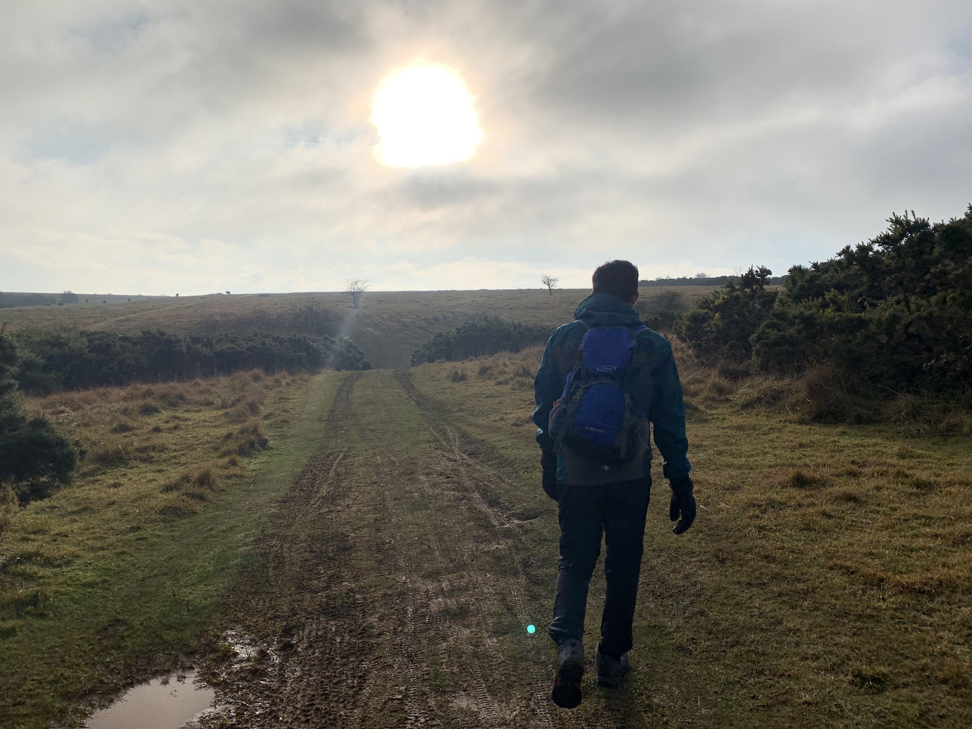
Peeking into the hill ahead we noticed consistent peaks and valleys; we strolled through those 2 miles with the intermittent water/snack breaks. When we dipped into the valleys, it was like surrendering to Nature. We were enclosed by the sloping hills and cloud cover. Nothing else.
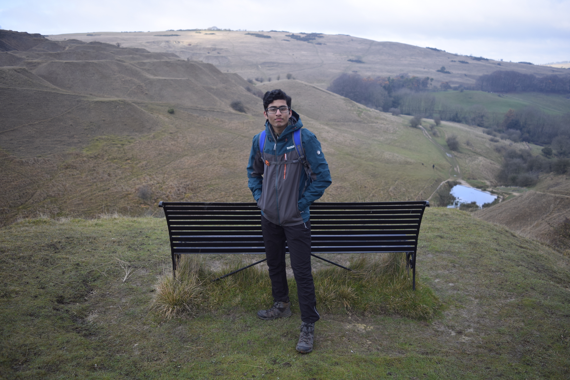
We progressed through the occasional muddy puddles, striking streams and the rock-strewn terrain, I went into a different state where I felt more connected to Nature’s hums. The leaves crunched, the trees retired in the breeze yet the greenery unveiled itself in a chromatic dark green colour.
Cattle and Skateboarding
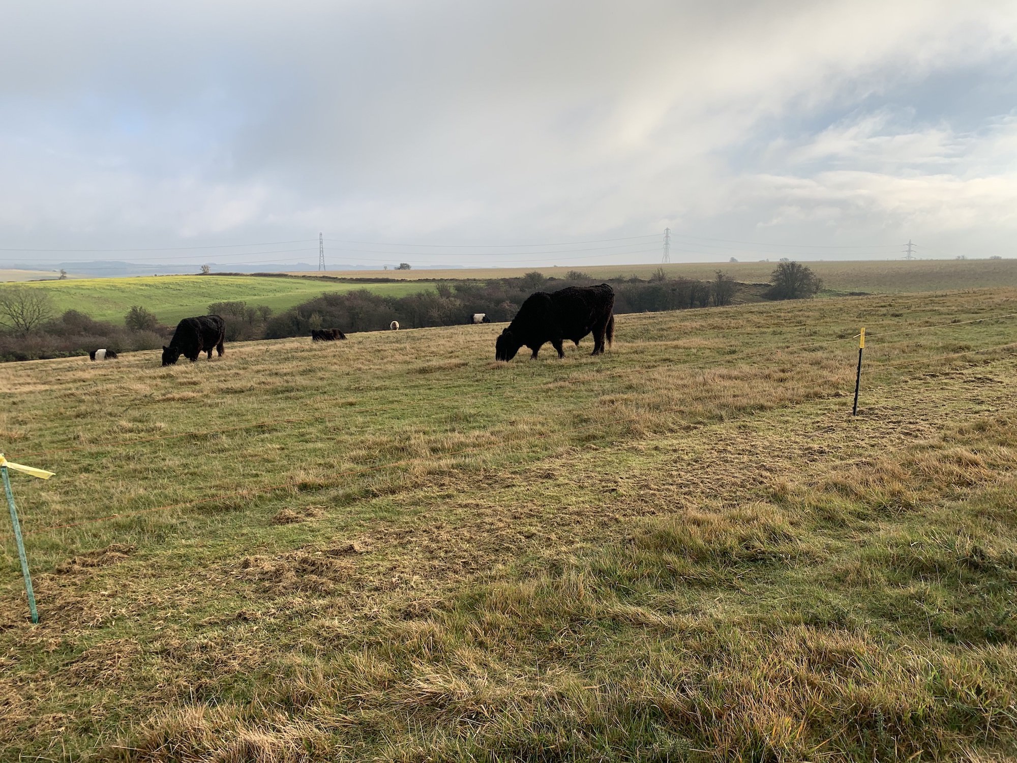
Then we arrived at a farm area. The land was mostly flat and there was a farm! The ironically small fences gated some bulky Welsh Black Cattle hence the grass was also white cutgrass. This section was a breeze. The silence was like a forgotten melody. All there was, was the occasional human chatter and the wind hustling.
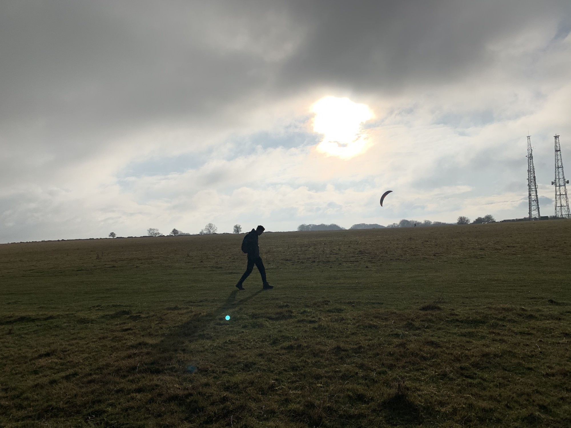
Interestingly, we saw a few people skateboarding around with a parachute connected to them. It seemed like quite a daring activity(due to the heavy wind) and also like a well-used opportunity of the flatland. Soon, we were into the descent.
Descent and then Ascent
The greenery continued to surround us as we descended down the very uneven peaks and valleys. At this point, here’s my retouched version of the map showing where we were.

The funny thing was that we thought after inclining that much that we touched the summit however, there was another dedicated area for the summit. Unknowingly, we descended almost all the way…
Guess what we did.
We went back up!
Incline again after missing summit
Fortunately, the incline back up to the summit from where we were was rather short(20 minutes one way according to Google Maps). So, after the dreary 20 minutes, there it was – the summit rock. This was purely for saying that we accomplished this trek.
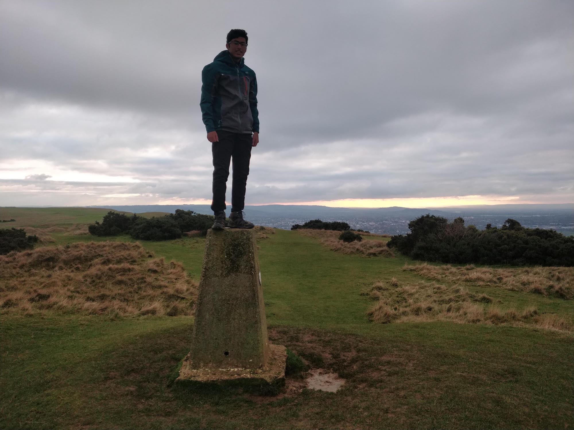
We got some snaps.
Started our descent.
Again!
And finally got into our car.
Of the hikes we’ve done so far, in terms of views, despite some stunning landscapes, it wasn’t the pick of the bunch. However, it was another unique climb with the nostalgia it left for us; we really enjoyed it(except the last 40 minutes).


Leave a Reply